Consolation Tour D4 Little Naches to Enumclaw
Animated Map: https://www.relive.cc/view/vrqDNeg12LO
The drizzle that greeted the end of my dinner passed in the night leaving a wet fly but a dry tent. I lounged a bit inside the tent knowing I had fewer miles (58) than the previous two days. I was starting to feel it in the legs and the gray sky didn’t motivate me. I was pleased no critters came to investigate the spilled Mike’s during the night. I ate a generous three packs of instant oatmeal and raisins. I was on the road at 8:47.
The road followed the river closely. I passed three campgrounds full of RVs, trucks, and ORVs along with several occupied pull outs. Clearly, this is a much loved place for the motorized crowd. The road was paved longer than I expected. You have to have a good road to move those RVs and trailers in.
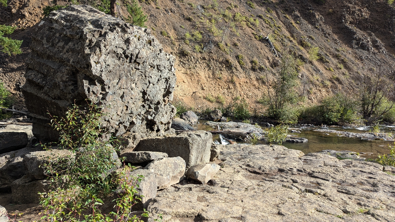
After a few miles I passed a fish ladder. It's even marked on Google. What wasn't on Google was a slab of basalt that looked like a throne. I wanted to snap a picture with my tripod and wireless shutter, but alas, I couldn't find the parts. Imagine me sitting on it.
The RVs thinned out. The trees grew lusher. I saw more conifer species in one place than I think I've ever seen: ponderosa, Doug fir, yellow cedar, red cedar, White pine, maybe even blue spruce. There weren't any views but the forest offered close up beauty.
I was thankful for directions a Cot’s Peak Coffee customer gave me because side roads abounded. He told me to follow NF-1900 to NF-1914 then turn right. He was spot on. I was thankful because the pavement continued on NF-1900 after the turn off. I would have wasted time because it dead ends in a clear cut. I also missed the turn off for the Naches Trail which is a route made and promoted by early Washington settlers to lure wagon trains off the Oregon Trail to Western Washington. It was so horrible that it was used a grand total of two times. Today, the trail is heavily used by dirt bikes, heavily rutted, and very muddy.
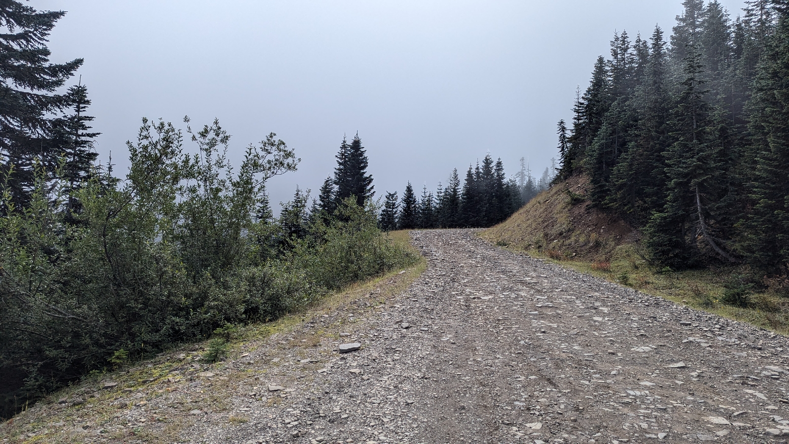
The climb to the pass summit was 2000’ feet. Before I got there, I reached a false summit, rejoiced the downhill only to be chargrinned when the road climbed again. NF-1914 was a nicely packed gravel road until the potholes and rocks began. The potholes were easy to handle on a bike, but the rocks, AKA babyheads, were challenging on a rigid frame bike. The pass itself was anti-climatic. The PCT crosses it, but is unmarked. One side of it is a motorized trail, as least for a bit. There were no views to speak of, but it was foggy, so who knows. I chatted with two elk hunters who thought biking the pass was cool in a crazy way. They were staring at their phones and told me this was the only place to get signal. Well, I’ll be. Let’s connect to that modern world. They also gave me valuable directions, “Turn right at the T intersection”. This advice also kept me off the poorly maintained lower section Naches Trail which was how my navigation app, Ride With GPS, wanted me to go. Always ask for directions.
The descent was a wild 3700’ drop. The top section was slow because of the babyheads. Once the road smoothed out I was flying. I was riding the tail of a pickup for a while. It eventually stopped to let me pass. I wonder what the driver thought. The down-ness just went on and on. I was so, so thankful I did the loop clockwise. Climbing this side would have been a beast. Eventually, the pavement began and so did the shooting. The Greenwater is popular for target shooting. This side had a false valley floor to match the false summit on the other side. I cursed my luck as I ground up a hill that should not have been there. I mean who designs these things! The lower part of the descent had nice unofficial campsites with signs saying shooting was prohibited. On day one I had wondered about whether I could find a decent campsite in this area. Well, now I know, yes, I can.
Clearcuts marked my return to civilization. That meant a reacquaintance with 410. I turned on my blinky daytime running light and got on the road. The heavy Sunday traffic was unpleasant after the backroads. Later, I would read a trip report about using old logging roads that parallel 410, but I quickly saw on Google Maps that these roads have been washed out by the White River.
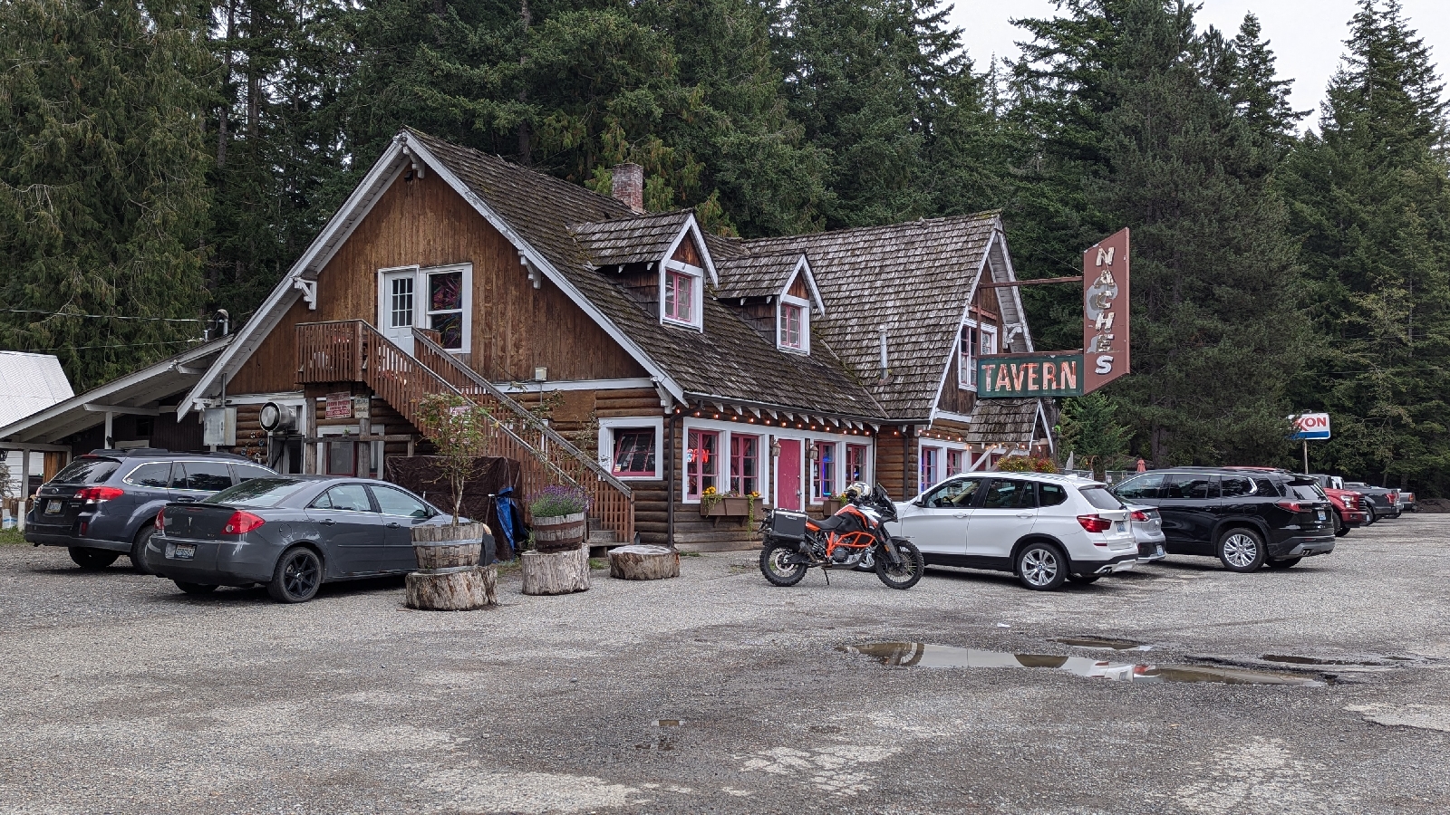
After a few white knuckle miles I reached Greenwater. Lunch was in order and the only game in town is the Naches Tavern. I wondered why Naches when that is clearly a name tied to the eastern side of the Cascades, but I never asked. It’s a wonderful place where everyone in Greenwater gathers. Most people sit in the family friendly section in the back. Tons of atmosphere with old tools and dollar bills stuck on the walls.
After lunch it was back on 410 for a 13 mile jaunt to the Mud Mountain Road, a back way into Enumclaw. The road was downhill, but the shoulders were narrow mostly so it was more ‘get through it’. The scariest moment of the trip happened crossing a bridge at fairly high speed. The dirt piled on the shoulder turned out to be slick mud. My front wheel briefly slid with busy traffic a few feet to my left. Thankfully, I reached solid ground before I fell.
Mud Mountain Dam Recreation Area was a welcome relief. It’s basically an access road to the dam. A party of equestrians was unloaded near 410. The horses looked skittish. One of the riders was a boy about 11 or 12. He seemed to be having trouble getting his horse under control. An man (his dad?), also mounted, was helping. They were speaking Spanish. I was curious to get their story, but they seemed occupied.
The road plunged into alder and big leaf maple. Some dirt roads with gates went off to the east. These seemed like viable stealth camping places, but I’d already made a hotel reservation in Enumclaw thinking there was no camping opportunities in the area. I was happy to have an excuse not to camp. The spots would have been gloomy, damp, and chilly.
After some last, fun downhill, I was on the Enumclaw Plateau passing farms and then subdivisions. Soon I was wheeling into town. I worried about the hotel hassling me about my very dirty bike even though hotels have never hassled me about my bike. Still, when I saw the hotel was next to a True Value, I seized the opportunity to ask if I could wash my bike. The good people at True Value didn't hesitate. I needn't have bothered. The hotel manager didn’t bat an eyelash at the prospect of bringing a bike into the rooms. She mentioned a pair of cyclists were already there and that the hotel was popular with folks doing Ramrod. She made me feel very welcome.
That evening, I enjoyed a two hour zoom with Hisako and Kisho. The free wifi for our weekly call was another reason for the hotel. I got a hot shower and later wandered a block into downtown for a light dinner. It was a relaxing last night of the trip. As much as I like camping, I also like locking my door for a little personal space.


Comments
Post a Comment